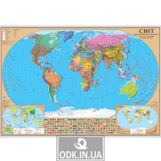
World map "World. Political map. 100x70 cm. "Paper, lamination, laths" shows the territories of states and countries separated by political borders.
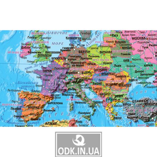
The map shows borders and borders, capitals, big cities.
There are two insert maps on the map:
1) State system, which indicates the forms of government of certain countries (monarchies, republics, commonwealths) and forms of administrative-territorial organization (unitary, federal).
2) Location of the population, which indicates the distribution of population and area, population density and population dynamics of the Earth in the past and the forecast for the future. All flags of the countries with the names of the countries to which they belong are shown. To facilitate the definition of borders, all countries have their own color, so it is easy to find them on the map.
The world. Political map. 100x70 cm. Paper, lamination, slats made of laminated paper, to which in the upper and lower parts are attached slats for easy mounting on the wall. Lamination prolongs the life of the card and preserves its appearance.
Signatures and inscriptions are made in Ukrainian.